Villa de Mazo
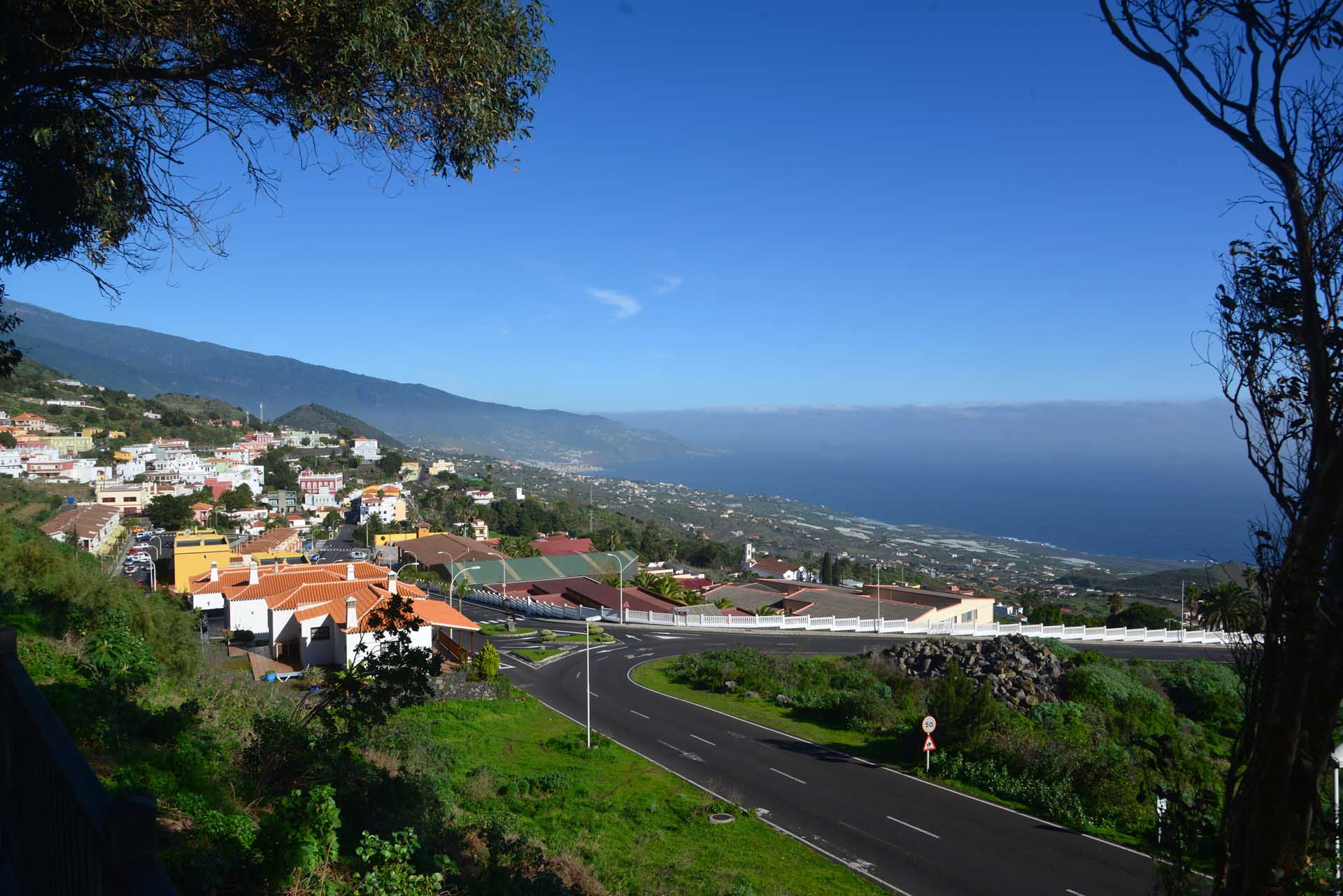
Mazo is located in the southeast of La Palma and consists of the districts of Villa de Mazo, La Rosa, Monte Breña, El Poleal, Monte Pueblo, Lodero, Callejones, San Simon, Lomo Oscuro, La Sabina, Malpaises, Tiguerorte Tigalate and Monte de Luna. The village covers 71 km² and has about 4.800 inhabitants. The popular beach of La Salemera, with its lighthouse visible from afar, also belongs to its municipal area.
The town has a health centre, school and town hall, as well as numerous shopping facilities, bars and restaurants.
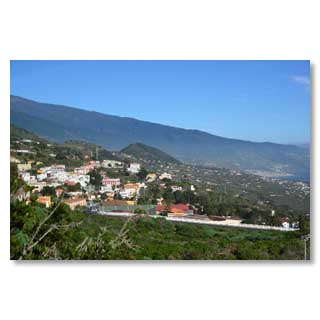
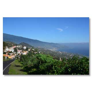
View from the south to the core community of Mazo
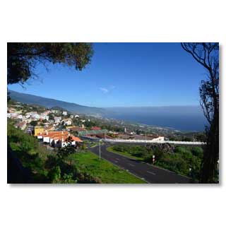
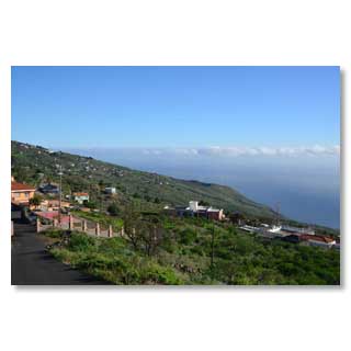
Mazo and the bay of Santa Cruz
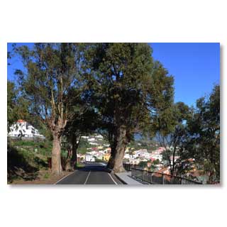
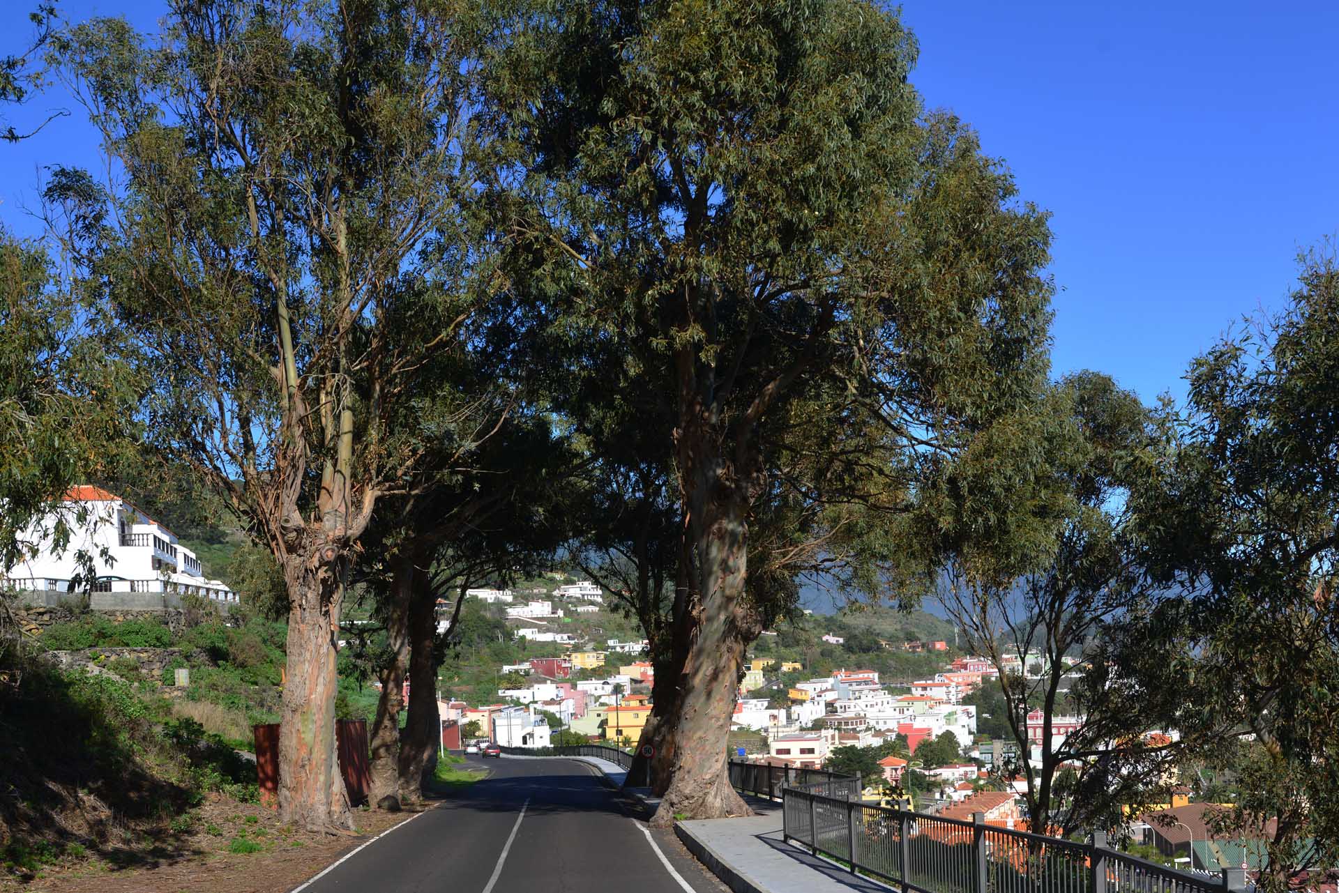
Eucalyptus as avenue trees, not everyone has
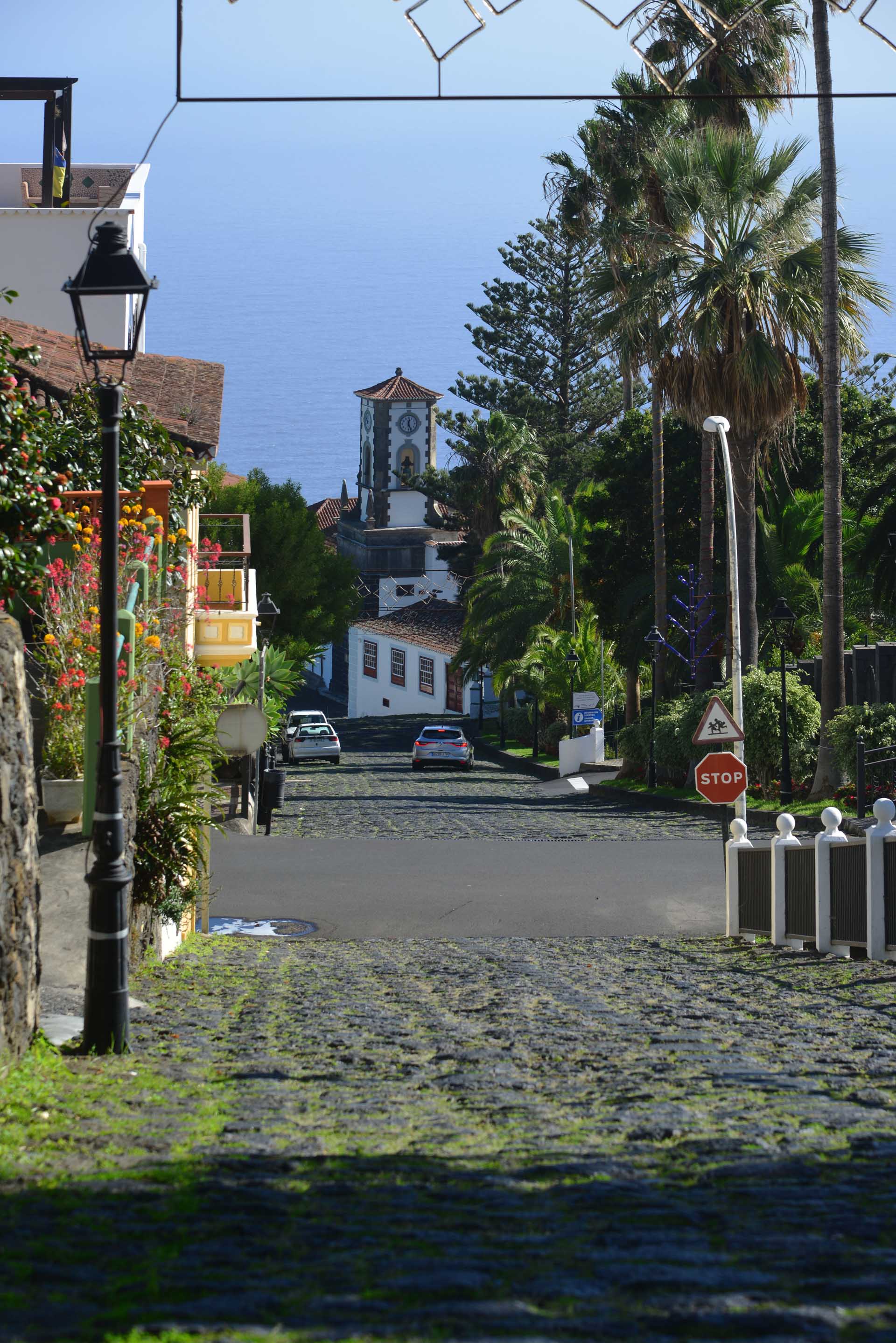
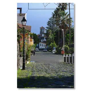
The southern entrance of Mazo
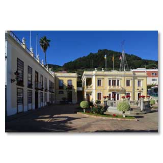
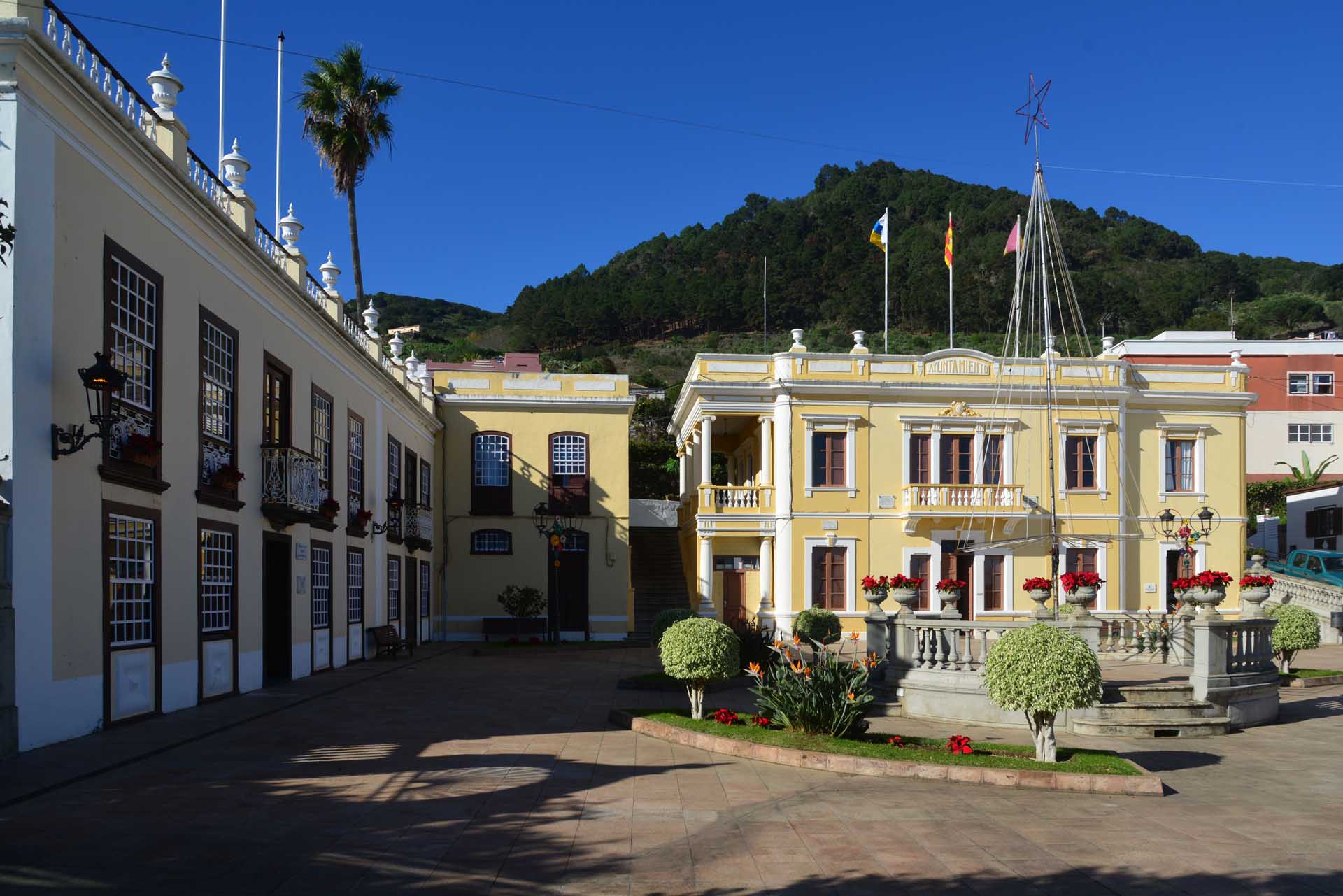
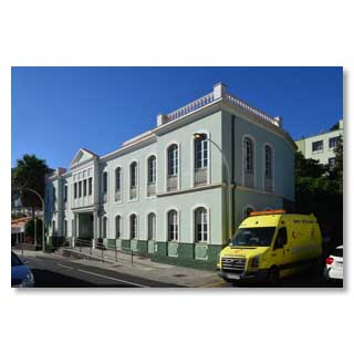
Mazo City Hall in colonial style
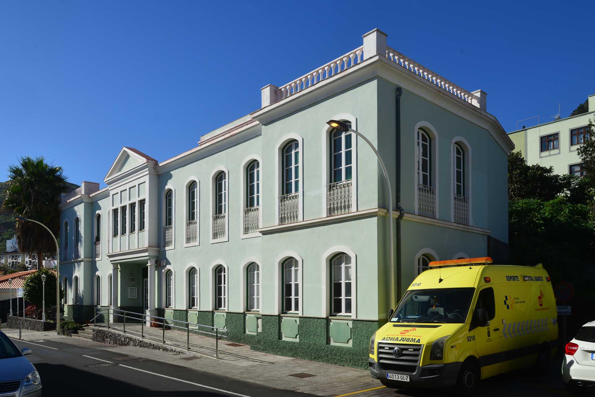
Mazo Health Centre (Centro de salud)
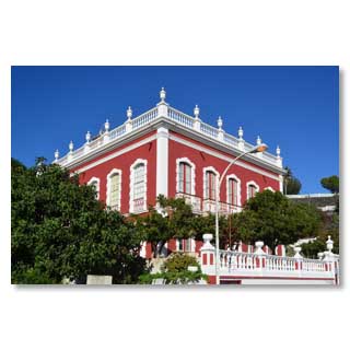
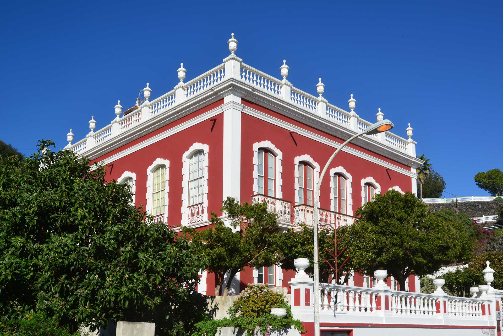
Casa roja' - the Red House houses two museums: one on Corpus Christi, the other on traditional embroidery. Open: 10:00-14:00 and 15:00-18:00 (Mon-Fri), 11:00-18:00 (Sat) and 10:00-14:00 (Sun)
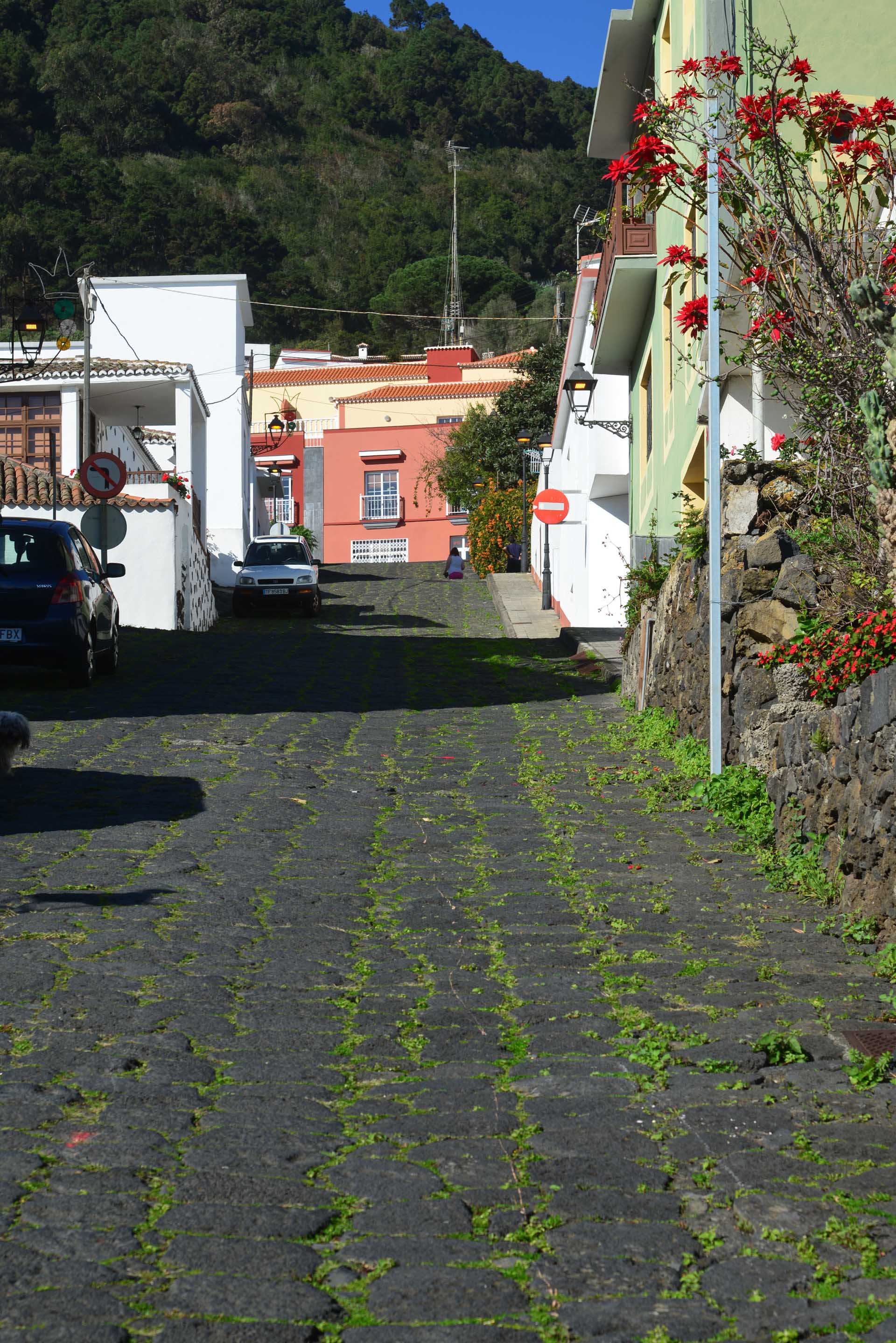
Fortunately there is no snow and ice here
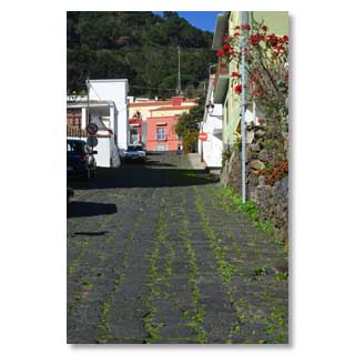
... because the original paved streets of Mazo are very steep
Tigalate district

© 2012 by Bernd y Nadja Blume. Copias de los textos o fotos, igual que sean digital o imprimido sólo son permitido con la licencia por escrito de los autores.